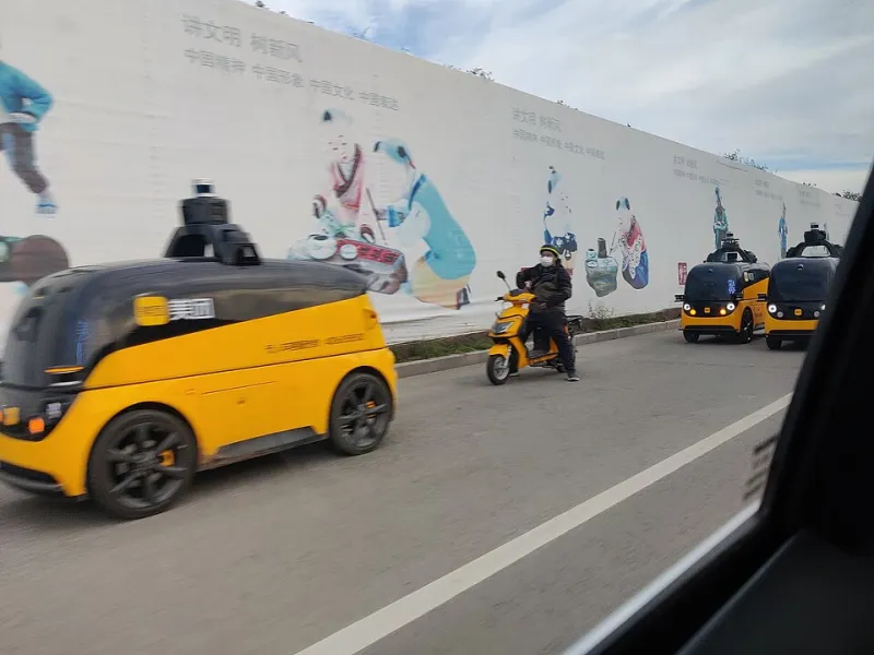
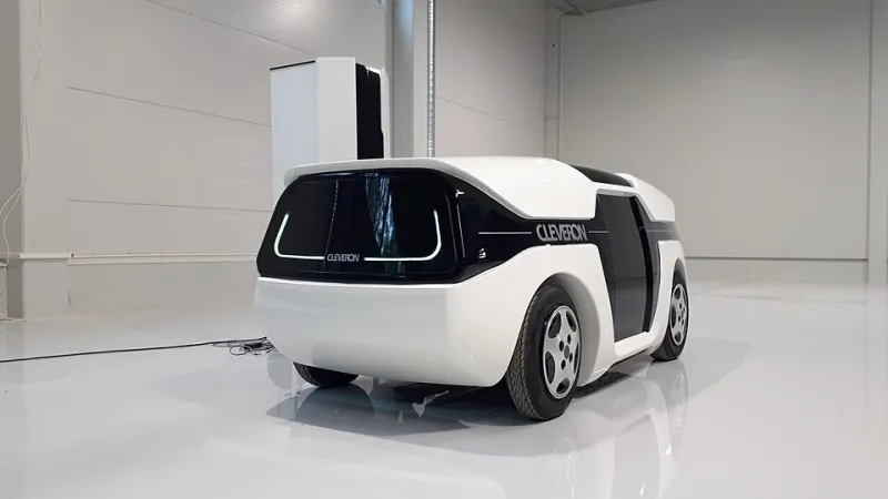
Unmapped and Unbothered: How Aichi's Engineers Taught Their Vehicles to Forget the Map
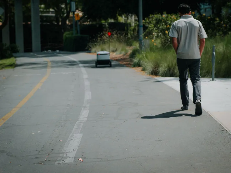
For nearly a decade, the dominant playbook in American autonomous driving has rested on a single assumption: before a vehicle can drive itself, someone must first photograph, scan, and annotate every lane marker, curb, and traffic signal it will encounter. High-definition mapping at that level of detail costs real money — often estimated in the hundreds of dollars per mile just to capture, before a cent is spent keeping it current.
In Aichi Prefecture, home to Japan's automotive heartland, a growing cluster of engineering teams is betting the opposite way. Their vehicles increasingly operate with little or no reliance on pre-built HD maps, instead interpreting the road in real time through onboard perception. For American companies watching their map maintenance budgets balloon, the approach deserves close attention.
Why the Map Dependency Problem Won't Fix Itself
The United States contains roughly four million miles of public roads. Only a small fraction — concentrated in Phoenix, San Francisco, Austin, Las Vegas, and a handful of other sunbelt metros — has ever been mapped to the fidelity robotaxis require. Extending that coverage to the rest of the country is not merely expensive; it is a perpetually unfinished task. Roadwork repositions a lane shift overnight. A storm fells a stop sign. Every mapped mile begins depreciating the day it is validated.
This is why American AV deployments cluster so tightly. Operating inside a well-scrubbed geofence is manageable. Expanding beyond it means re-funding the survey process, again and again.
Aichi's engineers have approached the problem from the other direction. Rather than asking "what does our map say this road looks like?" their systems ask "what does this road look like right now?" Cameras, radar, and lidar build a local understanding of the driving surface on the fly, with lightweight prior data — sometimes no more detailed than consumer-grade navigation — serving as a rough guide rather than a crutch.
Learning the Road While Driving It
The technical shift is best understood as a change in what the vehicle trusts. Map-heavy architectures treat the HD map as ground truth and use sensors to localize the vehicle within it. Map-light architectures invert the relationship: perception is primary, and any stored data is treated as a suggestion that must be confirmed against the live scene.
In practice, an Aichi test vehicle approaching an intersection with a faded crosswalk or a temporary detour does not stall waiting for a map update. It reads the geometry, signage, and behavior of other road users directly. Machine learning models trained across thousands of hours of regional driving allow the system to generalize — to recognize an unsignalized rural junction in a farming district because it has absorbed the pattern, not because a surveyor catalogued it.
This matters enormously outside cities. Rural Japan, like rural America, is full of roads no vendor will ever prioritize for high-definition survey: narrow, tree-lined, occasionally unsigned. Aichi's prefectural pilots have deliberately routed autonomous shuttles through exactly these environments, treating them as the real test rather than the exception.
The Validation Question: Who Signs Off When There's No Map?
Skeptics raise a fair objection. If there is no map, what does a regulator inspect? How does a municipality verify that a mapless system handles a construction zone or a washed-out road after a typhoon?
Aichi's answer has been procedural rather than cartographic. Local governments, working with operators, have established validation protocols built on scenario testing: vehicles must demonstrate safe negotiation of staged construction zones, lane closures, and post-disaster debris conditions before route approval is granted. Post-disaster operation is a particularly serious concern in Japan, where earthquakes and flooding can render mapped road networks meaningless in minutes. A vehicle that cannot function without its map is, in that context, a liability.
The result is a regulatory posture that evaluates demonstrated capability rather than data coverage — a framing that maps far more naturally onto how American state DMVs already think about human drivers, who are not issued licenses based on memorized road surveys.
What This Means for the American Map
For US operators, the strategic math is stark. A company tethered to HD maps can expand only as fast as it can survey and maintain territory. A company whose vehicles learn roads on the fly can, in principle, deploy wherever the regulatory pathway allows. The unit economics diverge sharply at scale: every new market for a map-dependent operator begins with a multimillion-dollar mapping campaign; for a map-light operator, it begins with fleet onboarding and validation runs.
None of this renders HD maps worthless. Dense urban cores with complex signal timing and intricate right-of-way rules still benefit from rich prior data, and most Aichi systems retain some prior information as a redundancy layer. The difference is philosophical: in Aichi, the map is an aid the vehicle can live without. In much of the American industry, it remains a dependency the business model cannot.
The companies that close this gap — whether American incumbents quietly rebuilding their stacks or Aichi suppliers licensing perception software abroad — will be the ones positioned to leave the sunbelt pilot cities behind. The four million miles of unmapped America are not waiting to be surveyed. They are waiting to be understood.